


A simple & primary overview !
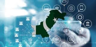
Geofencing is a technology that uses location information from a smart device—like GPS, RFID, or Wi-Fi—to track whether a device is inside or outside a “fence,” a virtual boundary around an area in the real world. The technology is used for a variety of purposes, like security, location tracking, tracing and advertising.
The objectives of geofencing depend on the use and the goal of the user. Some common objectives are:
To increase customer engagement and loyalty by sending personalized and relevant messages or offers based on their location.
To monitor and protect assets, inventory, or personnel by tracking their movements and alerting when they enter or exit a predefined area.
To optimize operations and efficiency by automating tasks or processes based on location triggers.
To collect and analyze location data to understand customer behavior, preferences, and patterns.
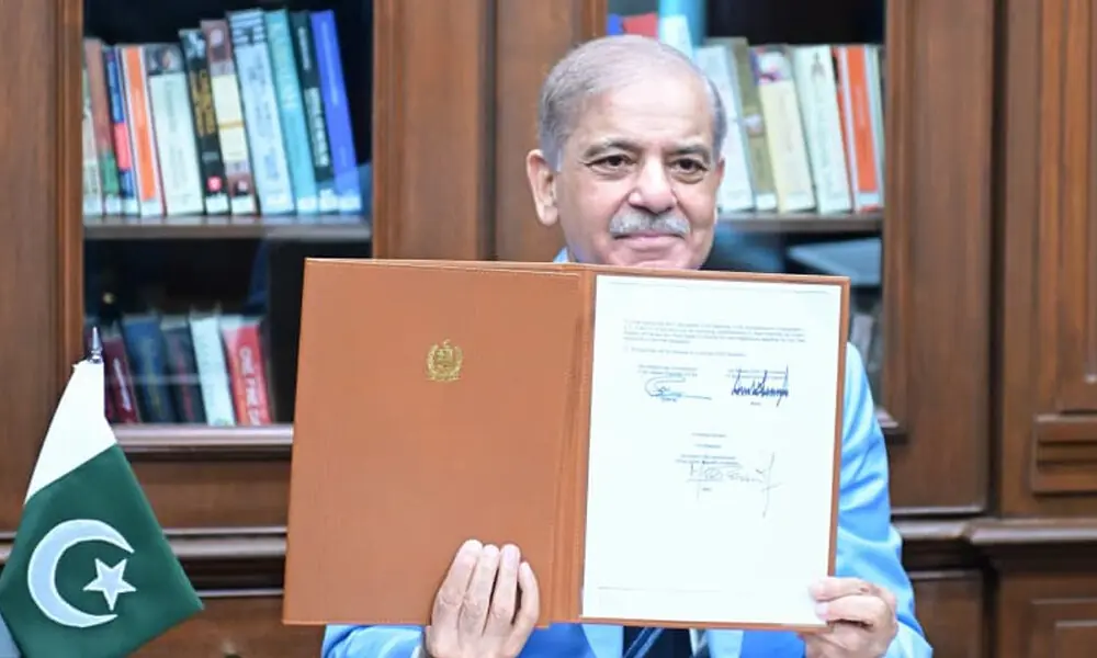
However, in the countries like Pakistan, it is oftenly used for security purposes. Tracing & tracking of people, record, tools & other documents are of quite importance in a security state like Pakistan.
There are various methods of geofencing, depending on the type of device, the accuracy required, and the cost involved.
Don’t forget to Subscribe our channel & Press Bell Icon.
Some of the common methods can be following:
GPS-based geofencing:
This method uses the global positioning system (GPS) to determine the location of a device. It is accurate up to a few meters, but it requires a clear line of sight to the satellites and consumes more battery power.
Wi-Fi-based geofencing:
This method uses the wireless network signals to determine the location of a device. It is accurate up to 10-20 meters, but it depends on the availability and strength of Wi-Fi networks in the area.
RFID-based geofencing:
This method uses radio frequency identification (RFID) tags and readers to determine the location of a device. It is accurate up to a few centimeters, but it requires specialized hardware and has a limited range.
Cellular-based geofencing:
This method uses the cellular network signals to determine the location of a device. It is accurate up to 50-500 meters, but it varies depending on the density and coverage of cell towers in the area12.
The accuracy of geofencing depends on several factors, such as the method used, the size and shape of the geofence, the environment and weather conditions, and the device settings and capabilities.
Generally, GPS-based geofencing is more accurate than Wi-Fi-based or cellular-based geofencing, but it also consumes more battery power and may not work well indoors or in urban areas with tall buildings. RFID-based geofencing is very accurate but has a limited range and requires specialized hardware.
Law enforcement agencies can employ geofencing to trace, track, and record the protestors of a mob in a given area by using one or more of the following methods:
Setting up a geofence around the area of interest and sending alerts or notifications to the devices that enter or exit the geofence.
Using RFID tags or bracelets to identify and locate specific individuals or groups within the geofence.
Collecting and analyzing location data from devices within the geofence to understand their movements, patterns, and associations.
Using facial recognition or biometric technology to match the devices with their owners or users.
Geofencing can be trustable in tracking people if it meets certain criteria, such as:
The geofence is defined clearly and accurately according to the purpose and scope of tracking.
The device being tracked has sufficient battery power, signal strength, and location settings enabled.
The device being tracked has consented to share its location data with the tracker or has been informed about its privacy rights and risks.
The tracker follows ethical and legal guidelines for collecting, storing, and using location data from devices within the geo fence.
Subscribe our website for latest updates:
https://republicpolicy.com/shop/
Read More